August 31st, 2019
I’ve enjoyed visiting lighthouses for a long time just to take a picture and add it to a gallery on my computer. I find them fascinating due to how tall they are and the sheer amount of work that went into making them. Plus it’s a good excuse to get out and visit new places that often have beautiful scenery. For the longest time the best photo I had of the Cape Charles Light was this blurry shot taken with a point and shoot camera from the bridge 3.5 miles away: Clearly, this just wasn’t cutting it and I’ve been meaning to take my canoe out there for years. The issue is the lighthouse is on a remote marshy barrier island on the Eastern Shore of Virginia. There are 4′ tides, strong currents, and open water from the Atlantic. Waiting for the right weather was paramount and finally everything lined up. It was Saturday and the weather was forecast to be in the mid 80’s with 5-10 mph winds all day. My wife and I loaded our canoe onto the car and drove two hours over to the Wise Point Boat Ramp.

Here’s an overview of the area. On the left is the Chesapeake Bay, on the right is the Atlantic. There’s a 1.25 mile opening between Fisherman Island and Smith Island and I imagine the waves can get rather nasty through here.

And here’s an overview of our trip. The green line is going out, the red line is walking around on land, and the yellow line is our return. All in all, it was 7.5 miles of rowing, sometimes against some fierce current.
Once we arrived at the boat ramp, we found a presumably free canoe/kayak launching spot. It was 10 dollars to launch at the main boat ramp, but I didn’t see any signs saying we needed to pay where we were. The launching spot is little more than a muddy slope into a stream in the marsh, but it worked fine. It did, however, add a mile to the adventure.

Free canoe/kayak launching spot
Once we set out, we followed the stream in the marsh out to a ~90 yard wide channel between the mainland and Raccoon Island. Let me tell you, the current was running something fierce through here. Forward progress simply halted as soon as the oars came out of the water and it was all I could do to claw my way ahead. After rowing all out for ~300 yards, we made it to an S shaped cut in Raccoon Island and the current dropped considerably. We used this shortcut to get us over to the open water side.

Looking back on it, it’s not surprising the current was so bad. We left the ramp at about 10:30am, so it was just after high tide and a ton of water was rushing back out into the Atlantic through the narrow channel.

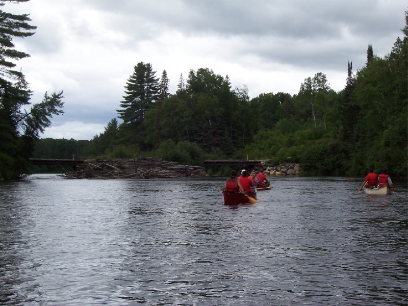
Once we made it through Raccoon Island, we started heading for the lighthouse! It would have been a 1.9 mile crossing if we knew what we were doing, but the current pulled us a bit south and I didn’t keep the best course. Eventually we got close to Smith Island and I headed north toward the lighthouse.

Heading over with a patient and very understanding wife who would probably rather be sitting on the beach!
The land surrounding the lighthouse is super marshy, but from studying Google Earth, I found a winding stream we could take that would get us close and more importantly to what appeared to be firmer ground. As you can see from our track, I had a terrible time finding the entrance. The first attempt ended with shallow water, then I went way to far north, then too far south, finally I thought I’d found the entrance, but it was a dead end. I was almost ready to admit defeat and go home, but I stood up in the canoe for one last look around and I spotted the stream. The tide was still high enough that I could pole my way right through the marsh grass and into it!

Trying to find the entrance to the stream.
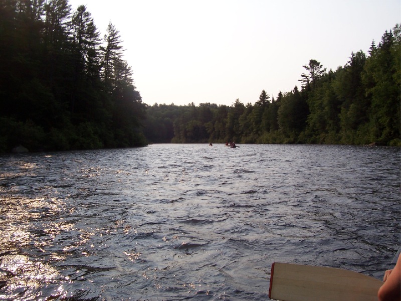
The main problem was the glare from the sun made using my phone difficult. The best I could do was put it in my hat, get an idea of where we were, row a bit, then check to see if we’d gone too far.

So close, yet so far away.
Once the nose of my canoe poked its way into the stream, the current shot us around backward. It took me by surprise that the current could be this strong, but looking back it all makes sense. Acres of land floods at high tide and it’s all got to go somewhere. Over time the flow carves out these little winding streams in the marsh on its path out to a lower level. Eventually we rowed, paddled, poled, and pushed our way to the firmer ground.

Making our way up the stream. We stopped straight ahead where all the marsh grass is flattened down.
I pulled the canoe up onto the shore which was perfectly dry. My wife decided not to come with me as she seems to be a magnet for bugs and didn’t want to be eaten alive. I took off towards the lighthouse, walking on a mat of flattened marsh grass and through a patch of what I think might be leatherwood. It was a large patch of shrubs about shin high with woody stems and thick leathery leaves that kinda looked like jade plant leaves. Eventually I hit a patch of bayberry and small pine trees. There is an ATV trail leading to the lighthouse, although it doesn’t seem to have been used in a long time. I can make out the tracks on Google Earth as well, but they seem to disappear out in the marsh.
 I made my way through the trees and came out in a clearing where the lighthouse stood along with some rundown out buildings! There was what was left of the brick keepers house and some sheds in various stages of disrepair.

I read a blog post about a couple who climbed it in 2014, but that was five years ago and I hoped the Coast Guard hadn’t locked it up for liability reasons or something. Coming up on the entrance, I saw the door was open! I made my way inside and headed for the top.
 About halfway up I snapped this picture looking towards the ocean. That box on stilts is a fire control tower that was used to direct artillery fire from nearby bases during WWII. There are three of them just behind the lighthouse.

Here’s a shot looking down the staircase from the top. The stairs seem solid, although there’s quite a bit of debris on the treads making them slippery. The handrail wobbles a bit and rust has eaten through the iron tube surrounding the stairs in places. It’s hard to imagine this lighthouse will be safe in another 50 years and repairing it seems like an expensive and daunting task. I think there’s a bit more needed than a new coat of paint.

Looking down the staircase.
I climbed another set of stairs into the lantern room, but there was no way onto the balcony. So I went back down to the generator room and went out onto the lower balcony. My wife took this picture back from where I left the canoe. You can just make me out on the right. There was a sketchy looking ladder that lead onto the upper balcony via a hole in the floor, but I decided not to press my luck.

Me at the top!

Looking down at the entrance.

Looking to the northeast. There are long lines of trees surrounded by marsh. Twice a day, all that water comes rushing down the stream on its trek to a lower level of potential energy. Then the moon drags it back up over the marsh as the earth turns and the cycle repeats.

Looking south towards the fire control towers and the Atlantic beyond. These towers would direct the artillery batteries on where to aim during WWII. U-boats definitely operated in this area and there were many ships sunk off the coast. U-230 and U-566 even laid mines in the mouth of the Chesapeake Bay.

Looking southwest towards the tip of Smith Island. Beyond is Fisherman Island which is the southernmost tip of the Eastern Shore. On the right is the Bay Bridge Tunnel and where I snapped my original photo.

Looking west back towards the boat ramp where we launched. That is Raccoon Island in the center, and Skidmore Island to the right.

Looking north to the stream we came up. You can just make out my wife in the canoe where the stream makes a hard 180º. There’s a bit of a trail that leads to the ATV tracks.
After a while, I came down and it was time to leave. This time the current whisked us along at a pretty good clip and shot us out into the open water. One interesting thing to note is at the entrance. Google Earth’s picture is from 2013 and that meander has cut through. It’s not an oxbow lake yet, but I imagine it will be one day.

Leaving the lighthouse.
The row back across the open water was a little slow as we were going somewhat against the current. We heard a mayday on the radio for a guy who was in a hit and run with a Carolina Skiff. The Coast Guard got the skiff operator’s cell phone number and I can only imagine he’s in hot water. As we worked our way closer to Holly Bluff Island, we turned more against the current and the going got tougher. Just before we turned the corner, it was back to zero forward progress as the oars came out of the water. But once we got in the channel, we were carried down to the boat ramp at quite a pace. Then it was a right hand turn to the canoe/kayak launching spot via a now much shallower stream.

Heading to the launching spot.
And with that, our Cape Charles lighthouse adventure was over! We loaded the canoe back onto my car and headed to Cape Charles for a much needed lunch. It was 2:30pm and my two hour trip had doubled.