June 6th, 2020

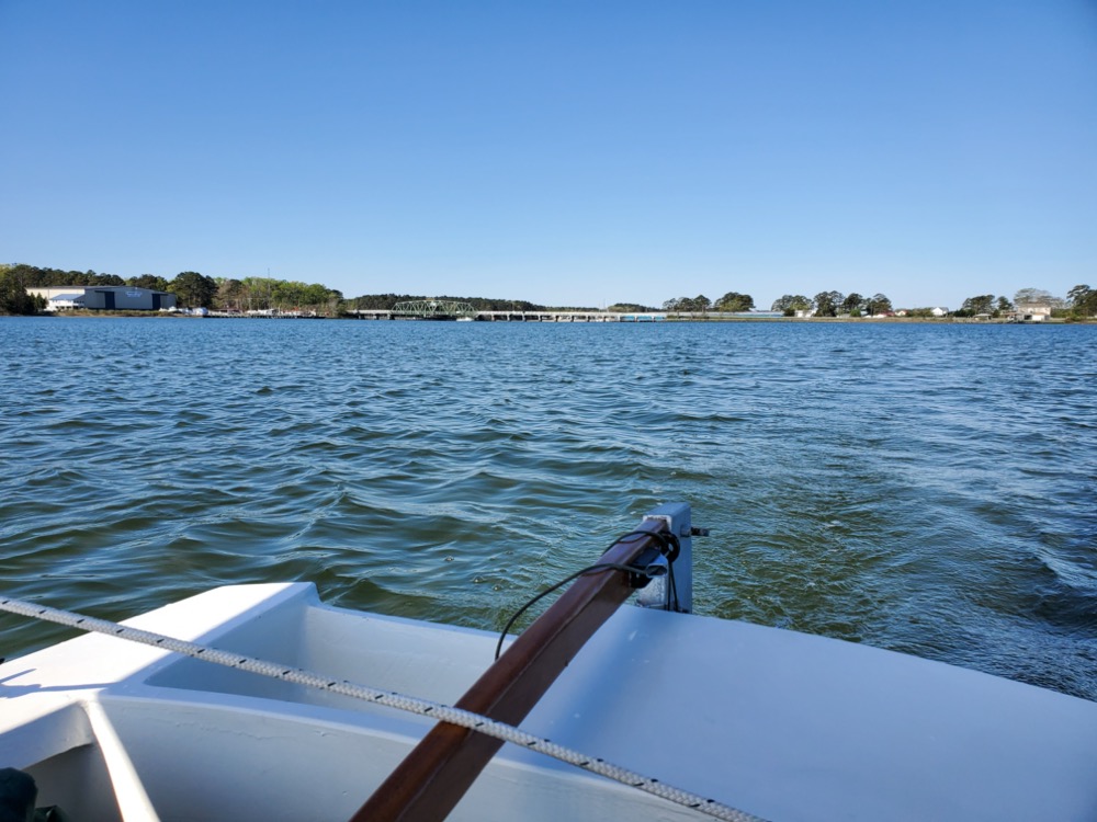
Today my wife and I took the boat out to a sand bar on the eastern end of Gwynn’s Island. We launched from the public boat ramp just after coming across the bridge and we had an easy run down to the sand bar. Coming back the wind was still from the west, so we had to beat. Unfortunately my phone overheated and shut down, so I didn’t get a complete GPS track, but this is my best recollection. At times we were moving 5 mph, but there were periods of really light wind too. Overall the trip was only 6 miles.
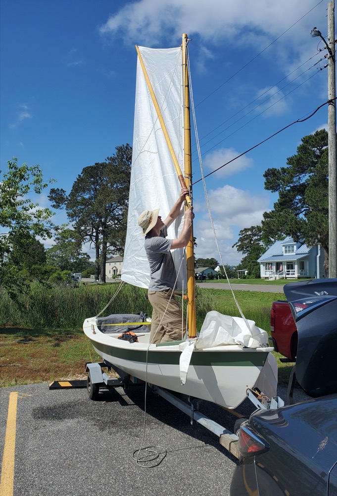
Rigging the sprit. The parking lot was packed with boat trailers and it seemed like someone new arrived every 5 minutes. I started rigging the boat in an out of the way spot until this space opened up which we nabbed. The ramp was pretty busy with two boats launching at a time, but that all went well. Getting back to our spot was absolute chaos though. The parking lot turned into gridlock with people blocking the exits while waiting for a guy to figure out how to back his trailer. One advantage to having a small car is I was able to sneak through, unhitch my trailer, and get us back into the parking spot. As I was walking back to the ramp, the guy who can’t back up just about creamed a little car until it peeled out of the way.

Picture every space filled, people double parked along the edge of the trees, both exits blocked, people waiting on the road to turn in, and four or five boat trailers jamming up the approach to the ramp.

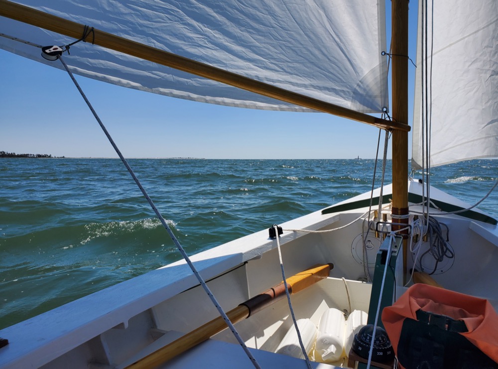
With that craziness over, we set off on a run down Milford Haven towards the sandbar. The winds were light, but we did hit about 5mph at one point. Eventually the traffic jam at the boat ramp must have gotten sorted out because a stream of boats came past leaving big wakes for us to bash through.

This is the first time since our trip to Ocracoke last year that my wife has been with me. I think the downhaul is a little too tight for these light conditions.

Once we got out to the sand bar I brailed up the sail and rowed in to let my wife off with our bags and tent. Then I rowed out a bit to anchor. There’s probably 100′ of 2-3′ water around the sand bar, so it’s easy to walk back.

Anchored with my homemade fisherman anchor! This is the first time I’ve used it, so I was anxious to see how it works. As best I could see it dug in down to the shank and it felt like it was holding firmly when I tugged on the rode.

The wind was pretty fickle and as we sat on the beach I noticed the boat swung through at least 270º and probably 360º. When we got ready to go I saw the anchor had turned onto its side and the rode was wrapped around the flukes twice. This is an inherent flaw with fisherman style anchors, since the lazy fluke will always stick up. I’ve got an idea on how to fix it, although maybe I’ll talk about that later.

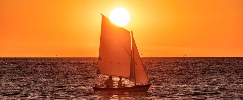
Once we got the boat loaded up I had my wife steer while I raised the jib. That got us moving and then I unfurled the main and we started back to the ramp.

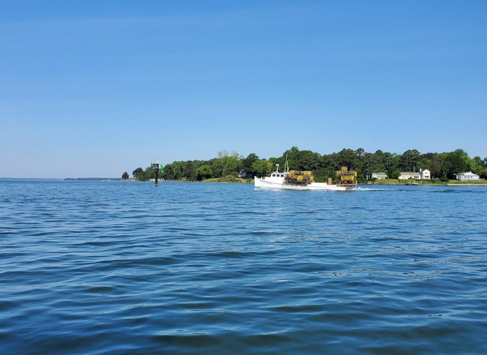
Two thirds of the way back we saw a commotion and what looked to be the bow of a boat sticking vertically out of the water! Fortunately the occupants had been picked up by a passing boater and a work boat was on its way to help. I could hear a quiet gurgling sound as the trapped air bubbled up to the surface.

The Hannah Carol got a line attached to the bow and pulled her out of the water. They made a few laps around while a smaller boat attached a line which then pulled her into shallower water. I’m really not sure what happened, but I wouldn’t be surprised if it had something to do with a kraken. I’ve seen drawings on Wikipedia of them pulling down fully rigged ships, so a 16′ center console should be no problem.
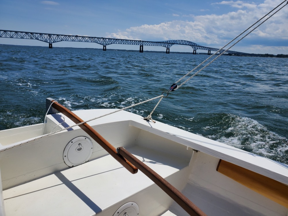
There was nothing we could do and we’d just be in the way if we tried to help, so we sailed back to the ramp and hauled out without trouble. I didn’t even bump the dock coming in! The adjacent restaurant was full of people eating on the deck, so there’s always the added pressure to not look like a fool. Overall it was a great day!