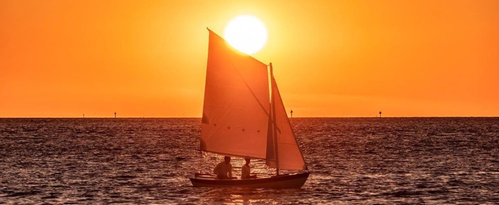
Noire River 2006

In July of 2006 I went with some friends on a five day, 60 mile canoe trip down the Noire River in Quebec. It was a lot of fun, although there were enough mosquitoes to carry you off! I’m pretty sure we started here: (46.376907, -77.196845)

A panorama of our first camp. (46.350654, -77.185779)
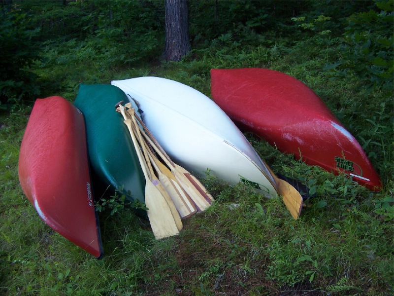
Mine is the green 14′ Old Town Osprey. The other canoes were at least 16′ long and it was impressive how much faster they were.
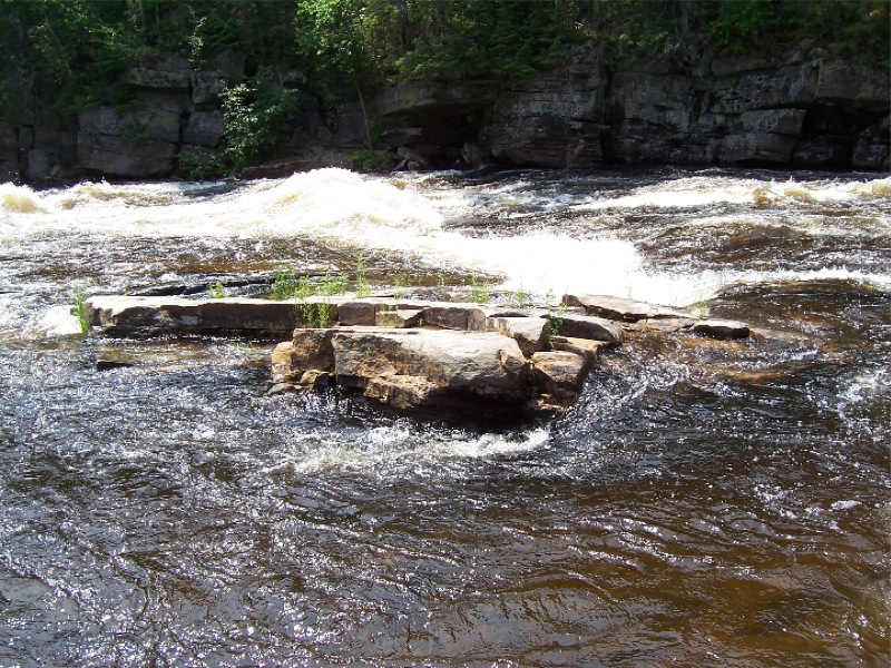
I’m not used to this! The Chesapeake Bay is just about the polar opposite.
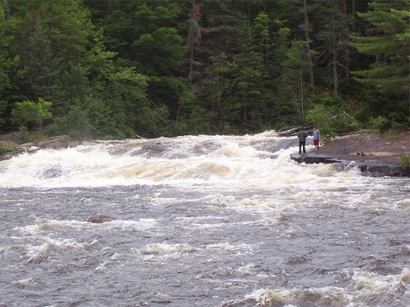
Deciding how much we value our lives. I believe this waterfall was called “Mountain Chutes.” I’ve never seen water with such pure power. The roar was deafening. (46.288449, -77.077471)
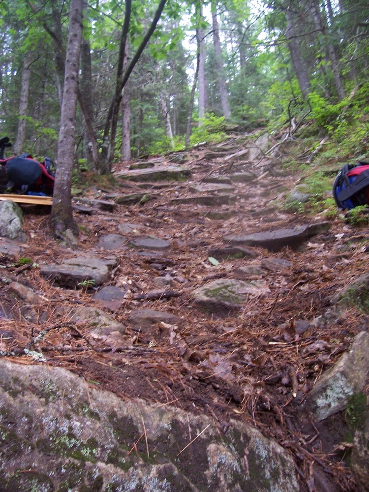
And this was the portage around the waterfall. It’s been aptly described as the portage from hell. All I remember is endless trips lugging our equipment and then getting our canoes down this super steep drop with ropes.
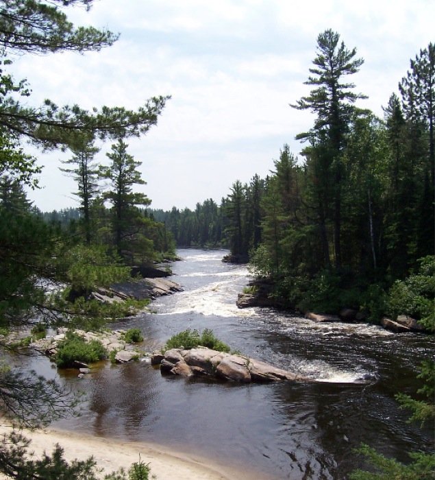
We camped here for a whole day. This spot is called “Targie” and we nearly destroyed a canoe. We would do runs through the rapids and then portage back up the other side. Well one canoe turned over and got pinned against a rock. After some debate we eventually decided a chain of 4-5 guys locking hands could get to it. We had a quick prayer and just as we started it popped loose and took off down the river swamped. (46.286973, -77.081782)
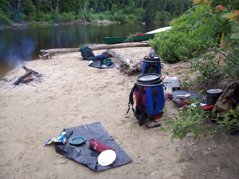
It’s amazing how good food tastes when you’re half starved. I think we caught one fish between us the entire trip. Most of the guys were Canadian, but my best friend and I are American. On the way up we found a fireworks shop that was selling fireworks for Canada Day. Well we bought some and kept them in our dry bags until July 4th when we lit them off at that evening’s camp. After our patriotic duty was over we threw the empty containers into the bonfire. Shortly after a roman candle went wizzing between us as we sat around the fire!
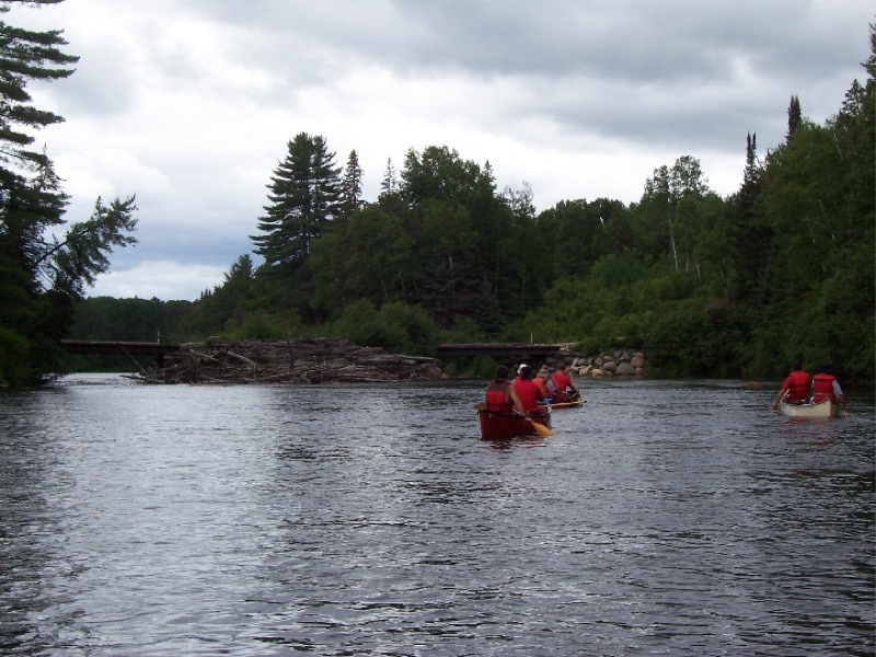
A log jam upstream of a bridge. (46.197732, -76.986383)
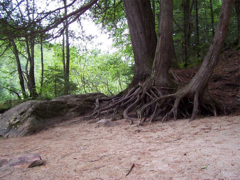
Some cool looking roots at our last camp.
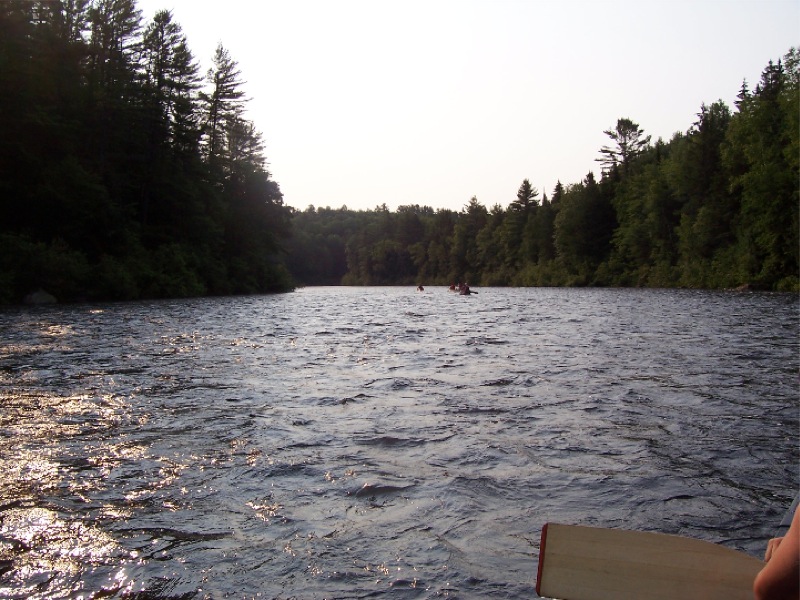
Me and Jason were always bringing up the rear. Partially due to my canoe’s waterline length but also because I’d paralyzed my left shoulder about 8 months before in a dirt bike wreck. I could only paddle on starboard side and had to let the paddle scrape down the side of the canoe. Thankfully a lot of it has come back and other muscles have adapted and taken on extra jobs.
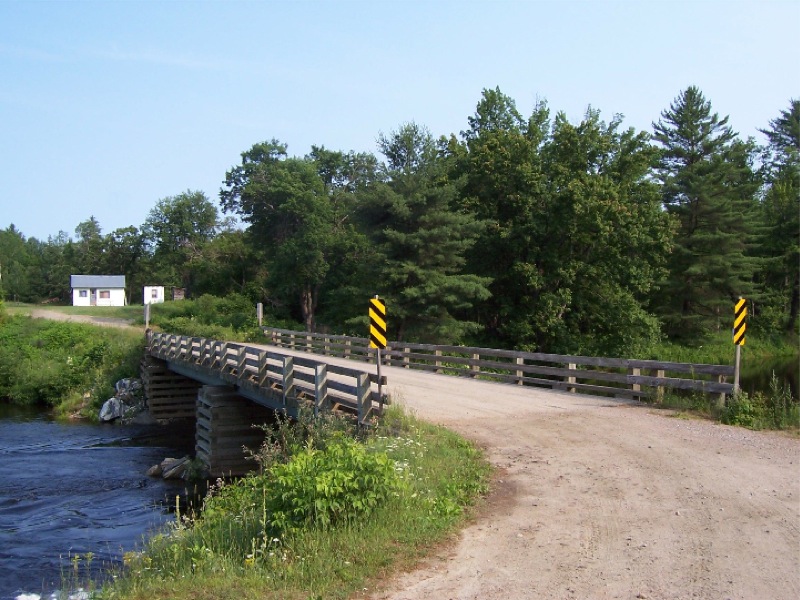
The end of the line, 60 miles downstream. (46.033165, -76.865915)

Grog Island ~2004

Growing up my father worked with the local Kiwanis Club which sponsored a Boy Scouts explorer program called Sailing Explorer Post 290. They would take kids out in Rainbow 24s to race, daysail, or go on overnight camping trips to a little island called Grog Island. I was a bit young while these adventures were going on, but I always knew I’d make it out there one day. In 9th grade I bought a 1977 Sunfish and after getting a bit of sailing experience I decided my first long daysail would be to Grog Island.

Grog Island probably in the 90’s (Source)

Unfortunately in 1999 the storm surge from Hurricane Floyd accelerated the slow erosion of the island by killing the pine trees holding everything together. When I arrived it was a sandy island just a few feet above the water with a couple sickly pines still hanging on. Most of the larger trees had fallen over like a large game of pick up sticks. By 2010 or so Grog Island had washed away entirely.

I’m pretty sure my trip was in 2004 or possibly 2003.

I grew up near Mosquito Creek although we weren’t on the water ourselves. I did yard work for a neighbor and he let me use his dock to launch my canoe and sailboat. He even let me take his Boston Whaler Super Sport out if I wanted.

My trip was about 20 miles over 8 or 9 hours and the wind was southerly all day.

On the day of the trip I launched from his dock around 8am and headed down Mosquito Creek and made a left at Mosquito Island. I remember I stayed close to shore and cut through the shallows halfway to Windmill Point before rounding the point and heading north west toward Grog Island.

I think I had a little trouble finding the island since it was low lying and blended in with the background. I know I had a military surplus lensatic compass my father had given me and a map I’d made from screenshots of a USGS topographic map painstakingly pieced together in Microsoft Paint. I doubt I really knew how to use the compass and I probably just tried to keep sailing in the same direction of Windmill Point’s shore. I do remember this leg was idyllic downwind sailing and I spent a long time sitting on my life preserver in the footwell with my legs dangling off the side, steering with the tiller over my shoulder.

I’m pretty sure I got the screenshots from a website called MapTech that had an online viewer to show map samples. I found a modern version of the same map here.

Eventually I found the island and beached my Sunfish. I remember walking around looking at the huge dead trees that had fallen over and eating a soggy ham and cheese sandwich I’d packed that morning. After scooping up some sand in a plastic bottle to prove I’d been there, I headed home.

This leg was upwind and rougher since the wind had picked up, but fortunately I could lay the course to the point without tacking. I remember feeling a bit overpowered with that big lateen sail… The waves at the point were pretty short and steep since it’s so shallow through there, but eventually I made it around to a beam reach back to Mosquito Island. The wind had gotten stronger with scattered white caps and just as I was about to turn right and head for Mosquito Creek I saw my dad and neighbor speeding out on his Grady-White cabin cruiser Taittinger. They gave me a wave and turned back. I later learned mom was terrified I was lost and sent my unconcerned and slightly annoyed dad out to look for me.

Taittinger

Eventually I made it home worn out and pretty sunburnt, but I guess this trip was the start of looking for a better boat to do similar adventures in!

A different trip many years later, but this was my Sunfish.